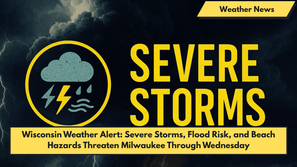
Milwaukee, Wisconsin — Strong storms, dangerous rip currents, and possible flash flooding are expected to affect southeast Wisconsin through Wednesday, with Milwaukee and Racine among the hardest-hit areas.
What to Expect
The National Weather Service in Sullivan warns that scattered thunderstorms will become stronger late Tuesday into Wednesday.
- Heavy Rain: Downpours may cause urban and small stream flooding, especially overnight and during the Wednesday morning commute.
- Wind: Gusts could reach up to 35 mph.
- Rainfall: Some areas might receive more than half an inch of rain.
Travel and Beach Safety
- Travelers on I-794 and roads along the Lake Michigan shoreline should prepare for delays and low visibility during heavy rain.
- A High Swim Risk is in effect at Milwaukee and Racine beaches due to waves of 3 to 5 feet, onshore winds, and dangerous rip currents.
- Residents are advised to stay out of the water and avoid piers and breakwalls until conditions improve, expected by late Wednesday.
Additional Details
- Thunderstorms should ease by Wednesday evening, but wet roads and isolated power outages may still occur.
- Weather spotters may be activated to monitor storm activity Tuesday night and Wednesday.
Five-Day Forecast for Milwaukee (June 3–7)
| Day | Weather | High Temp |
|---|---|---|
| Tuesday | Breezy with showers & storms after 2 p.m. | 83°F |
| Wednesday | Widespread showers with storms, rain easing late | 62°F |
| Thursday | Partly sunny, light northeast wind | 69°F |
| Friday | Slight chance of showers, partly cloudy | 64°F |
| Saturday | 40% chance of afternoon showers, mostly cloudy | 71°F |


