Milwaukee, Wisconsin – Air quality remains a major concern across southern Wisconsin with wildfire smoke blanketing the region. A state-issued air quality advisory is in effect until noon Wednesday, and the haze will persist into the morning hours. This could impact visibility and aggravate respiratory issues for sensitive groups.
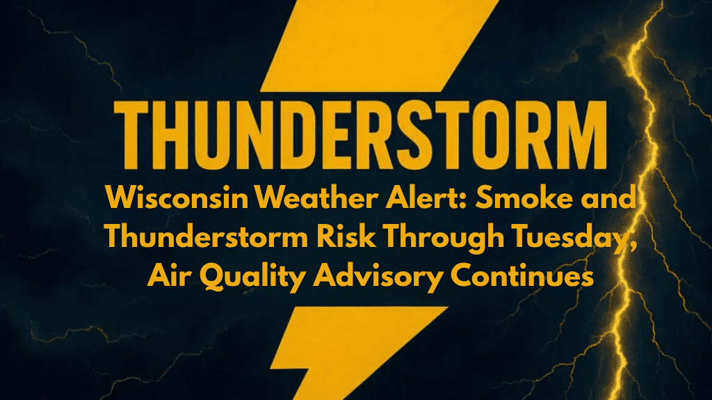
The National Weather Service in Milwaukee warns of potential patchy fog in river valleys and low-lying areas overnight, which could create additional hazards for early morning commuters. Thunderstorm risks are also possible, with rain and lightning expected to intensify by Sunday and continue into the early part of next week.
🌫️ What to Expect: Smoke, Fog, and Weather Risks
Wednesday: Smoke will gradually clear by 9 a.m., but expect hazy skies until then. Temperatures will reach the low 80s under mostly sunny conditions, with light southeast winds.
Thursday: A slight chance of storms after 1 p.m., with highs near 86°F. Overnight lows will be around 70°F, with more storm chances possible later in the evening.
Friday: Mostly sunny and warmer, with highs reaching 88°F. Winds will shift to the south, bringing in warmer air.
Saturday: Hot and humid, with temperatures reaching 91°F. A slight chance of storms may develop later in the day, but the best chance for rain arrives on Sunday afternoon.
Sunday: Showers and thunderstorms likely after 1 p.m., with highs around 86°F. Expect cooler temperatures by Monday.
🌡️ Health and Travel Advisory
Residents are urged to limit prolonged outdoor activities until air quality improves. The smoke could irritate the respiratory system, particularly for children, the elderly, and those with pre-existing health conditions. Commuters should be aware of poor visibility due to haze and fog, especially early in the morning.
Key Safety Tips:
Limit outdoor exposure during times of poor air quality.
Check air quality updates and avoid strenuous outdoor activities.
Be prepared for sudden weather changes, including thunderstorms later in the week.
🌧️ Weather Outlook: Heat and Storms Ahead
Temperatures will heat up by Saturday, but a cooler front will arrive by Monday after storms move through. Sunday could bring some relief with the return of showers and thunderstorms.
🌤️ Five-Day Forecast for Milwaukee, WI
Wednesday, August 9:
Areas of smoke before 9 a.m., high 81°F / low 65°F
Clearing skies, light southeast winds
Thursday, August 10:
Partly sunny, slight chance of storms after 1 p.m., high 86°F / low 70°F
Storms possible in the evening
Friday, August 11:
Mostly sunny, high 88°F / low 70°F
Winds shift south, warmer conditions
Saturday, August 12:
Hot and humid, slight chance of storms, high 91°F / low 72°F
Storms possible late in the day
Sunday, August 13:
Showers and thunderstorms likely in the afternoon, high 86°F / low 70°F
Cooler by Monday


