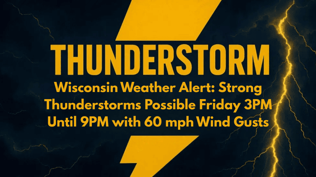
People across Wisconsin should stay weather-aware this Friday as strong thunderstorms may develop in the afternoon and evening hours. According to the National Weather Service in Green Bay, a cold front pushing through the region could bring damaging winds, heavy rain, and small hail, especially between 3 p.m. and 9 p.m. in the northern parts of the state.
What to Expect From Friday’s Storms
While the overall risk for severe weather is low, some isolated storms could still turn strong. The NWS has issued a Marginal Risk alert (Level 1 out of 5), meaning there’s a small chance for localized impacts such as:
Wind gusts between 40 and 60 mph
Brief downpours causing low visibility
Small hail
Disruptions to outdoor events and evening commutes
These storms are not expected to be widespread, but they could intensify quickly, especially in certain areas.
High-Risk Areas in Wisconsin
The strongest storms are most likely to affect these regions:
Superior
Hayward
Wausau
Green Bay
Along major roads like U.S. Highway 51 and Highway 29
Drivers on these routes should prepare for sudden changes in visibility and slippery roads, especially during peak travel hours Friday evening.
Precautionary Measures for Residents
Even though this is a lower-level risk day, it’s important to take basic safety steps to avoid surprise disruptions:
Secure outdoor furniture, umbrellas, or items that could blow away
Charge your mobile devices in case of power cuts
Check the forecast before attending outdoor events
Use weather apps or radios to get real-time alerts
Avoid travel during heavy rain or strong wind bursts
With the storm window happening during a busy time of day, event planners and commuters should have backup plans in case conditions deteriorate quickly.
When Will It Clear Up?
The threat for strong storms should gradually decrease after 9 p.m., as the cold front moves southeast. However, the National Weather Service may issue more advisories if storm strength increases or if new developments occur.


