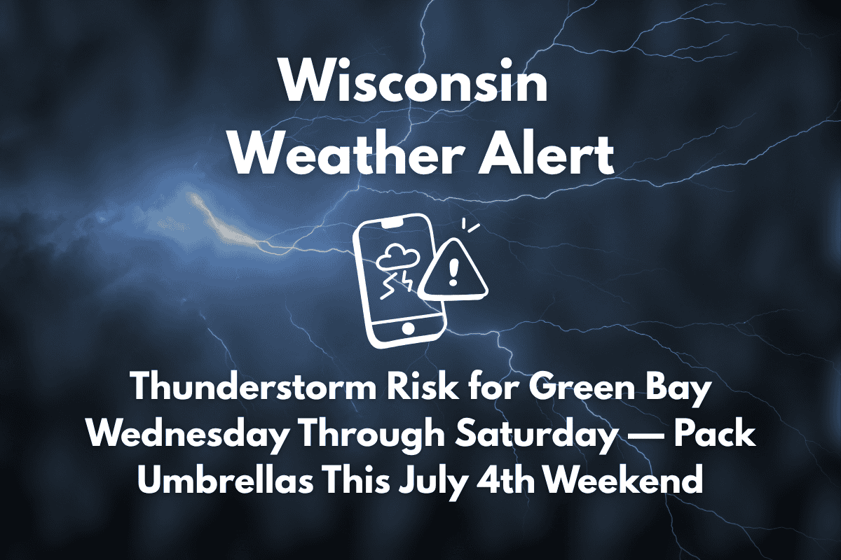
Green Bay, Wis. – A series of storms could disrupt travel and outdoor plans across northeast Wisconsin starting Wednesday afternoon, just ahead of the July 4th weekend. Thunderstorms are expected to affect the Green Bay area and surrounding counties, potentially impacting barbecues, fireworks displays, and road travel.
Storm Risk and Weather Pattern
The National Weather Service in Green Bay has issued a weather alert for thunderstorms beginning after 1 p.m. on Wednesday, with another wave of storms expected between 10 p.m. and 1 a.m. Conditions remain unsettled through Saturday, with daily chances of storms and showers. The highest risk for thunderstorms will occur Saturday, when the chances increase to 50%. Heavy rain and gusty winds are possible, particularly in areas along I-41 and US-141.
On Wednesday, Green Bay will start with sunny skies and a high of 86°F, but conditions will quickly change as clouds build and thunderstorms develop. The storm risk continues on Thursday with a 20% chance of afternoon storms, and 40% on Friday. Saturday will see a 50% chance of storms, bringing the potential for heavier rain and stronger winds.
Impact on Outdoor Plans and Travel
Motorists should stay alert for changing road conditions and reduced visibility during thunderstorms, particularly on rural highways in Brown, Outagamie, and Shawano counties. Localized flooding is possible in low-lying areas. Although severe weather isn’t expected, outdoor activities should remain flexible, with backup plans in place for fireworks and gatherings.
Five-Day Forecast for Green Bay, Wis
| Day | Weather | High Temperature | Additional Information |
|---|---|---|---|
| Wednesday (July 2) | Sunny, 30% chance of afternoon thunderstorms | 86°F | – |
| Thursday (July 3) | Mostly sunny, 20% chance of afternoon storms | 83°F | – |
| Friday (July 4) | Hot, 40% chance of afternoon thunderstorms | 89°F | – |
| Saturday (July 5) | Cloudy, 50% chance of storms | 84°F | – |
| Sunday (July 6) | Mostly sunny, 30% chance of storms | 81°F | – |


