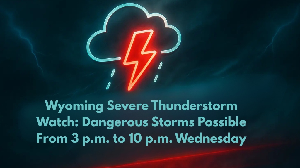
Cheyenne, Wyoming – A Severe Thunderstorm Watch has been issued for parts of eastern Wyoming as dangerous storms are expected to impact the area Wednesday afternoon and evening. With strong winds and hail possible, residents should remain vigilant as severe weather could affect four counties.
Severe Thunderstorm Watch Issued for Eastern Wyoming
The National Weather Service Storm Prediction Center has issued a Severe Thunderstorm Watch in effect until 10 p.m. MDT for the following counties:
Converse
Crook
Niobrara
Weston
Storms are expected to develop in this region, bringing the potential for damaging wind gusts over 60 mph and hail up to one inch in diameter.
Possible Hazards and Localized Impacts
The primary hazards from these storms include:
Strong winds over 60 mph, capable of downing tree limbs and power lines
Hail up to one inch that may cause damage to crops, vehicles, and outdoor structures
These conditions are most likely along the U.S. Highway 20 and I-25 corridors, where strong wind bursts are anticipated. Residents in these areas should prepare for potential power outages and flying debris.
Safety Measures and Precautions
With the storm risk extending into the evening hours, residents should:
Postpone outdoor activities and evening travel until the storm subsides
Secure loose outdoor items that could become projectiles in high winds
Charge mobile devices to stay informed about updated warnings
Tornado Risk and Potential for Intensification
Although there are currently no tornado warnings in effect, isolated storm cells could rapidly intensify, increasing the risk for more severe weather. Emergency alerts may be issued if conditions worsen throughout the evening.
The Severe Thunderstorm Watch will remain in place until late Wednesday evening, with the strongest storm activity expected before 9 p.m. Keep an ear out for additional warnings and updates as the situation develops.


