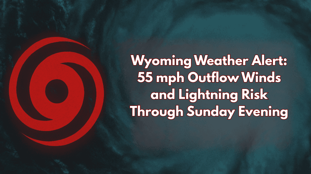
Casper, Wyoming – On Sunday, strong outflow winds will sweep across Wyoming, bringing gusts of up to 55 mph, as well as scattered thunderstorms, lightning, and the risk of small hail.
According to the National Weather Service in Riverton, storms developing across the state are causing widespread gusts of 40 to 50 mph, with isolated higher bursts possible until 8 p.m. Johnson, Natrona, Fremont, Sweetwater, Sublette, and Lincoln counties, as well as Yellowstone National Park and Jackson Hole, are among those most at risk.
Winds in central Wyoming may make driving dangerous on Interstate 25 near Casper and I-80 through Rock Springs and Green River. Lightning strikes and brief bursts of hail are also possible in areas such as Riverton, Lander, Cody, and Buffalo, particularly where skies cleared earlier in the day, causing storm instability.
Travelers with trailers or high-profile vehicles should exercise extra caution and postpone evening trips. Residents are also encouraged to secure outdoor furniture, trampolines, and other items that may be blown around.
Storms are expected to subside later tonight, but further warnings may be issued if conditions worsen.


