Areas at Risk
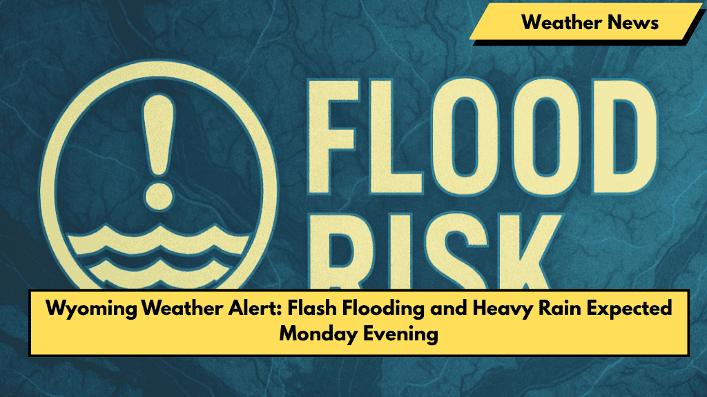
Parts of southeast Wyoming and western Nebraska, including Cheyenne, Laramie, Scottsbluff, and Sidney, may face flash flooding Monday evening due to heavy rain from slow-moving thunderstorms.
Cause of the Flooding Threat
A stalled cold front over the High Plains will bring multiple rounds of showers and storms. These storms may “train,” or move over the same area repeatedly, causing rapid flooding.
Safety Advice for Residents
People living in low-lying places, near creeks, or underpasses should be ready for fast-rising water and avoid driving through flooded roads.
Travel Warnings
Wyoming and Nebraska transportation departments advise checking road conditions before traveling and avoiding non-essential trips during heavy rain.
Possible Impact
The heavy rain may affect evening commutes and farming activities, as soils are already saturated. Having emergency supplies, charged phones, and alternate travel routes is recommended.
Stay Alert
Flash flood watches or other warnings could be issued if the rain gets worse. Stay updated with the latest weather information Monday night.


