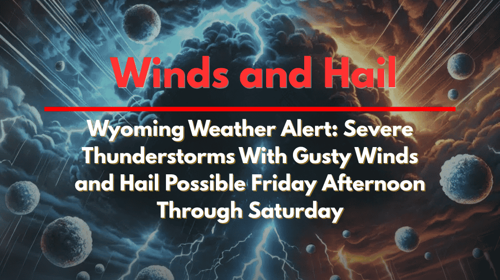
Strong thunderstorms are expected to sweep across southeastern Wyoming, beginning Friday afternoon and continuing into Saturday. The National Weather Service in Cheyenne has issued a weather alert, with the potential for heavy rain, gusty winds, and hail, particularly in areas north of the North Platte River Valley. Here’s what residents can expect and how to stay prepared.
Friday Afternoon and Evening Storms
Starting Friday afternoon, scattered showers and thunderstorms will begin to develop across southeastern Wyoming. While most of the storms will be isolated, a few could intensify, bringing heavy rainfall, large hail, and strong wind gusts. The National Weather Service has identified areas such as Douglas, Wheatland, and Torrington as being at higher risk for severe weather.
Travel along I-25 and U.S. 85, especially near Glendo and Chugwater, could become hazardous as the storms roll through. Drivers should be cautious of poor visibility, water-covered roads, and rapid changes in weather conditions. Additionally, residents in Laramie County and Platte County are urged to prepare for possible power flickers or brief outages due to wind or lightning.
Saturday’s Storms
A second round of thunderstorms is expected to develop Saturday afternoon. Though these storms may be less widespread than Friday’s, isolated areas could still experience large hail and gusty winds. The overall risk of severe weather remains “marginal,” but changing conditions could trigger advisories for more intense storms.
How to Stay Safe
Residents should stay alert and be prepared for rapidly changing conditions. It’s recommended to charge your devices in case of power outages and avoid any outdoor activities during stormy periods. If you’re traveling, stay updated on weather alerts and be prepared for brief disruptions in power and traffic.
With the storm risk remaining throughout the weekend, it’s essential to continue monitoring local weather reports and be ready to adjust plans accordingly.


